Pricing Portfolio How It Works Service Area About FAQ Contact Book a Shoot
24- to 48-Hour Turnaround(817) 217-5724cody@contactcody.com
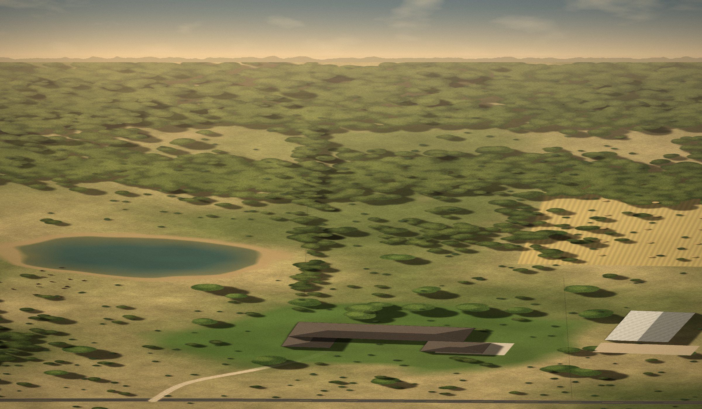
Aerial view of a North Texas ranch property at golden hour
West Tarrant County · Parker County · Fort Worth

Professional Drone Media. Delivered in 24 to 48 Hours.

Professional aerial photography and cinematic drone video for real estate, land, ranches, acreage, and horse properties across West Tarrant County, Parker County, Fort Worth, and surrounding North Texas areas. Book online in minutes.

24- to 48-Hour TurnaroundShot today. Delivered within 48 hours.

Packages from $195 · Drone-only · Book online in minutes

32.76° N · 97.60° W · West Fort Worth / Parker County
  • 24- to 48-Hour Delivery
  • Professional Editing
  • Property Lines Included
  • Full-Resolution Files
Pricing

Flat pricing. Pick a package and book.

Every package includes professional editing, full-resolution and MLS-ready files, and 24- to 48-hour turnaround. No quotes, no back-and-forth.

Home & Lot Aerials

For properties up to 5 acres

$195
Per property
  • 20+ professionally edited aerial photos
  • Multiple elevations and perspectives
  • Property-line overlays when applicable
  • Full-resolution files
  • MLS-ready files
  • 24- to 48-hour turnaround
Book for $195

Fence-to-Fence Aerials

For properties 5 to 50 acres

$295
Per property
  • 30+ professionally edited aerial photos
  • Broader property coverage
  • Multiple elevations and perspectives
  • Property-line overlays when applicable
  • Full-resolution files
  • MLS-ready files
  • 24- to 48-hour turnaround
Book for $295
Up to 200 Acres

Full Aerial Package

Complete aerial photo and video coverage, up to 200 acres

$549
Per property
  • 35+ professionally edited aerial photos
  • Extensive aerial coverage of the property
  • Property-line overlays when applicable
  • Professionally edited cinematic property video, up to 3 minutes, horizontal YouTube-style
  • Establishing shots
  • Property approaches
  • Structure and improvement coverage
  • Acreage and landscape footage
  • Full-resolution photo and video delivery
  • 24- to 48-hour turnaround
Book Full Package

Standard delivery within 24 to 48 hours after the shoot is completed.

Approximate property-line overlays included when requested and boundary info is available.

Outside our standard area? You can still book. A travel fee may apply, and we will confirm it with you before your shoot.

24-48Hour
Turnaround

Shot Today. Delivered Within 48 Hours.

Real estate moves quickly. Your media should too. Standard delivery is within 24 to 48 hours after the property is photographed, helping you get listings live without waiting several days for finished media.

Turnaround begins after the shoot is completed. Severe weather, unusually large projects, special editing requests, or circumstances outside our control may affect delivery time.

Book a Shoot
  1. Any time
    Book online
    Pick a package and date. Upload a survey if you have one.
  2. Shoot day
    We fly
    Best available light and safe conditions, full coverage of the property.
  3. After the shoot
    We edit
    Color-corrected and finished, with property lines added when requested.
  4. 24 to 48 hours
    Delivered
    Download full-resolution and MLS-ready files from one link.
How it works

Four steps. No phone tag.

  1. 01

    Book

    Choose your package and property.

  2. 02

    We fly

    Professional aerial coverage of the property.

  3. 03

    We edit

    Every selected image is professionally color-corrected and finished.

  4. 04

    Delivered within 24 to 48 hours

    Download your finished full-resolution and MLS-ready media.
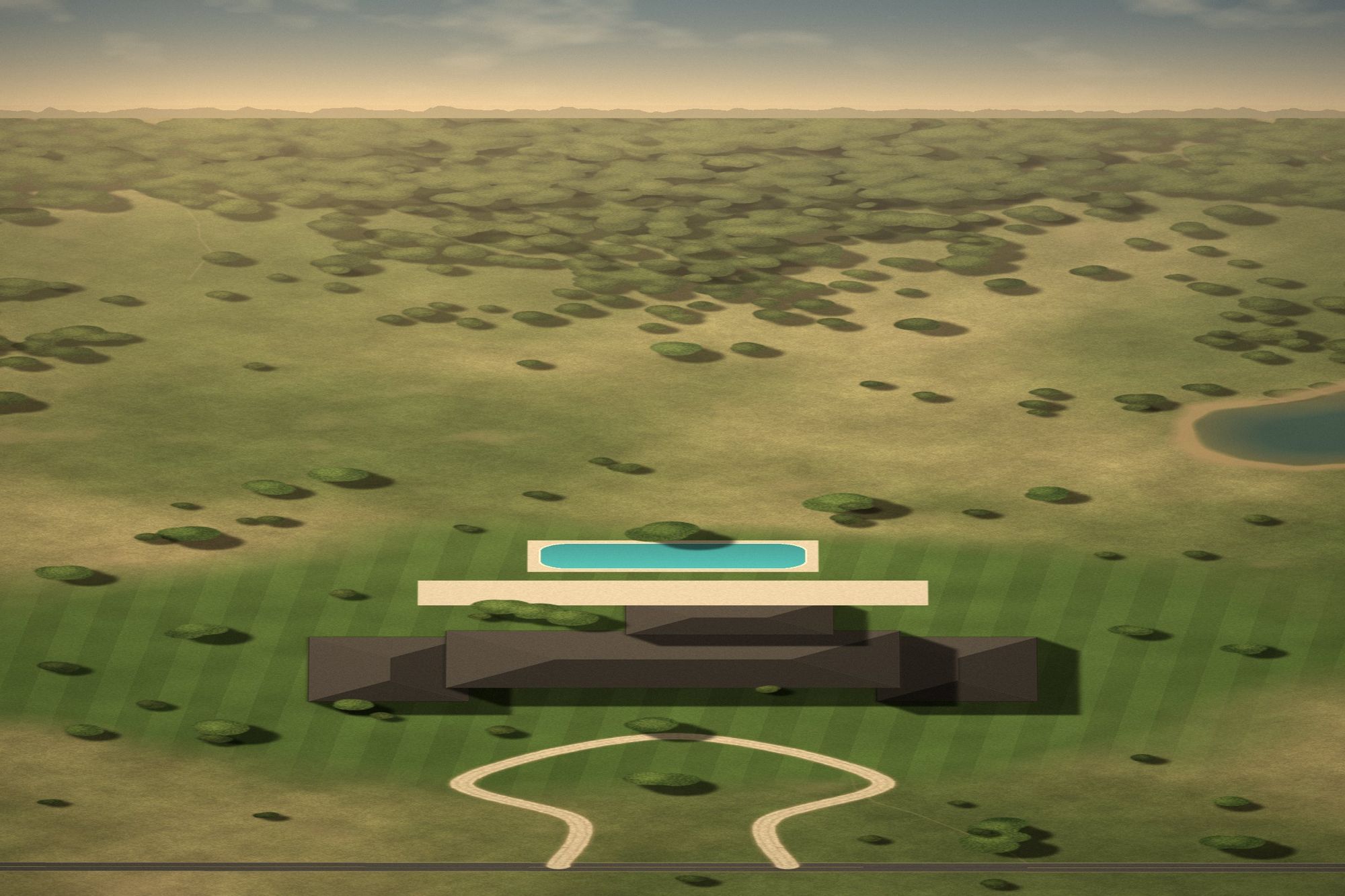
Aerial view of an estate home with pool and landscaped groundsAerial only · no interiors
Why a drone-only specialist

Sometimes you don't need another full photography package. You just need great aerials.

Plenty of listings already have the ground covered. What they're missing is the view that shows the lot, the land, and the setting.

  • Already have interior photography? Keep it. We only fly.
  • Already have listing photos? Add the aerials they're missing.
  • Already have your own photographer? Book us for the drone work only.

Book professional drone coverage on its own, without buying another full media package.

Built for real estate
RealtorsAerials that make the lot, location, and setting obvious.
Land agentsBoundaries, access, frontage, and terrain in one view.
Ranch agentsPasture, water, improvements, and true scale.
Horse-property agentsBarns, arenas, paddocks, and turnout.
BuildersLots, progress, and finished homes in their setting.
SellersProfessional aerials without hiring a full media company.
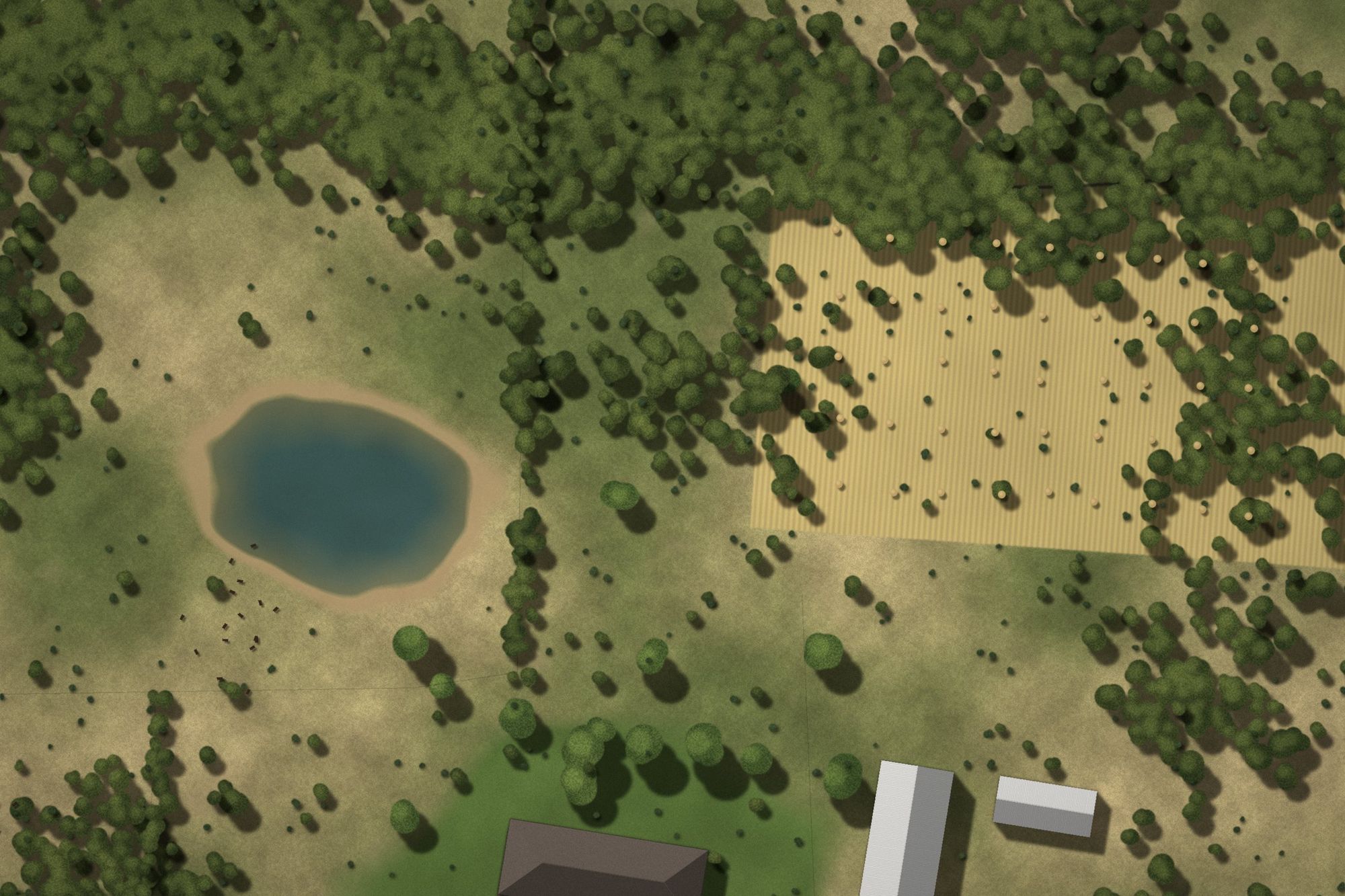
Wooded land with property lines without property linesWooded land with property lines with approximate property linesWooded land with property lines
Property lines included

Show buyers exactly what they're getting.

Request approximate property lines when you book. We draw the boundary on selected aerials so buyers see the extent of the land at a glance.

  • Upload a survey, plat, parcel map, or screenshot straight from your phone
  • Or paste a county GIS, LandGlide, Regrid, or listing link
  • Included with every package when applicable

Property-line overlays are approximate visual representations for marketing purposes and are not a survey or legal boundary determination.

Portfolio

Ranches, land, horse properties, and homes.

Service area

West Fort Worth to Parker County, and everywhere in between.

Serving West Tarrant County, Parker County, Fort Worth and surrounding North Texas communities.

Outside our standard area? You can still book. A travel fee may apply, and we will confirm it with you before your shoot.

Service area map: West Tarrant County, Parker County and Fort Worth PARKER COUNTY TARRANT COUNTY FORT WORTH BENBROOK WHITE SETTLEMENT LAKE WORTH AZLE SPRINGTOWN PEASTER WEATHERFORD HUDSON OAKS WILLOW PARK ALEDO BROCK
FAQ

Questions, answered.

How quickly do I receive my photos?

Standard turnaround is 24 to 48 hours following the shoot.

Are property lines included?

Approximate property-line overlays are included when requested and when adequate boundary information is provided.

Are property lines legally accurate?

No. They are approximate marketing graphics and are not a substitute for a survey.

What happens if the weather is bad?

We monitor wind, rain, visibility and lighting. If conditions aren't suitable for safe or quality drone operations, the shoot will be rescheduled.

Can you photograph large ranches?

Yes. Properties from 5 to 50 acres fall under Fence-to-Fence Aerials. The Full Aerial Package covers properties up to 200 acres. For anything over 200 acres, call or text us for a custom quote.

Can I choose vertical video for Instagram?

Yes. The $399 photo + reel package allows either horizontal or vertical delivery.

Do you photograph interiors?

No. We specialize exclusively in aerial media. If you already have a photographer handling interiors and ground-level photography, you can book us independently for professional drone coverage.
24- to 48-Hour Turnaround

Book your aerials in minutes.

Pick a package, choose your date, and upload a survey if you want property lines. Finished media is delivered within 24 to 48 hours of the shoot.