Acreage Aerials
For properties up to 15 acres
$125
Per property
- 20+ professionally edited aerial photos
- Multiple elevations and perspectives
- Property-line overlays when applicable
- Full-resolution files
- MLS-ready files
- 24-hour turnaround
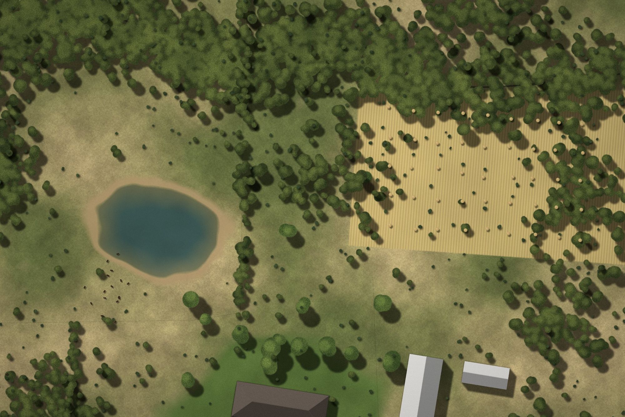
Ranch, acreage, horse property, and homesite aerials across Parker County, delivered within 24 hours of the shoot.
Parker County listings are often about the land: pasture, pond, tree lines, barns, arenas, and road frontage. A few well-planned aerials with approximate property lines tell a buyer more in five seconds than a page of listing remarks.
We cover the whole county, from the I-20 corridor communities to rural acreage off the farm-to-market roads.
Every package includes professional editing, full-resolution and MLS-ready files, and 24-hour turnaround. No quotes, no back-and-forth.
For properties up to 15 acres
For properties over 15 acres
Photos plus a 30-60 second cinematic drone video
Complete aerial photo and video coverage
Standard delivery within 24 hours after the shoot is completed.
Approximate property-line overlays included when requested and boundary info is available.
Outside our standard area? You can still book. A travel fee may apply, and we will confirm it with you before your shoot.
Standard turnaround is within 24 hours following the shoot.
Approximate property-line overlays are included when requested and when adequate boundary information is provided.
No. They are approximate marketing graphics and are not a substitute for a survey.
We monitor wind, rain, visibility and lighting. If conditions aren't suitable for safe or quality drone operations, the shoot will be rescheduled.
Yes. Properties over 15 acres fall under the Ranch & Large-Acreage package.
Yes. The $199 photo + reel package allows either horizontal or vertical delivery.
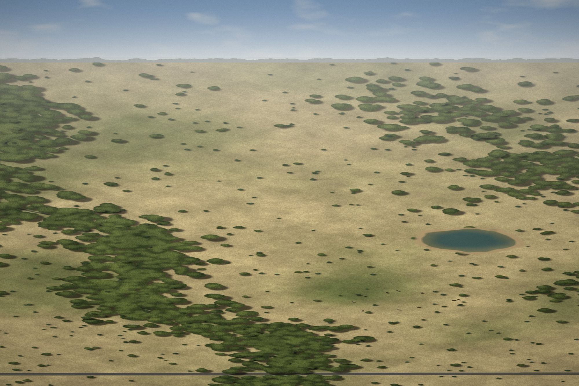
Pick a package, choose your date, and upload a survey if you want property lines. Finished media is delivered within 24 hours of the shoot.